Taylor Hoffmann · 26 October 2026
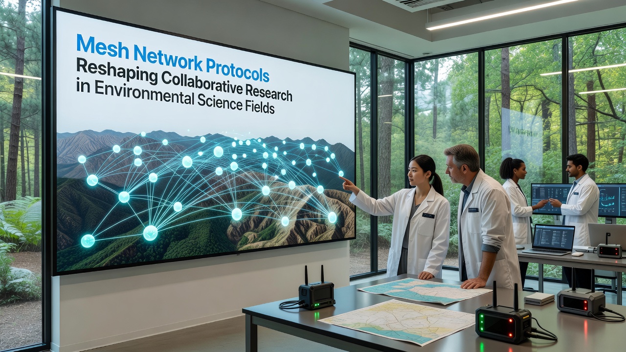
Mesh Network Protocols Reshaping Collaborative Research in Environmental Science Fields
Mesh network protocols enable direct node-to-node communication without reliance on central infrastructure, and environmental science teams now deploy these systems across remote field sites where traditional connectivity fails. Data from sensors measuring soil moisture, air quality, and biodiversity indicators travels hop by hop through the mesh, reaching collaborating institutions even when individual nodes lose line-of-sight to base stations. In October 2026, teams from multiple continents demonstrated synchronized data streams from Amazon basin plots and Australian outback transects during a joint virtual workshop hosted by international research networks.
Core Mechanics Behind Mesh Protocols in Field Research
Protocols such as BATMAN, OLSR, and emerging LoRa-based variants form self-healing topologies that reroute traffic automatically when weather events or equipment issues disrupt paths. Each node functions simultaneously as client and relay, which means adding or removing devices does not require network-wide reconfiguration. Environmental researchers note that this architecture supports dense sensor grids covering hundreds of hectares while maintaining packet delivery rates above 95 percent in documented deployments. The result appears in shared databases where timestamped readings from temperature loggers, acoustic recorders, and camera traps arrive continuously rather than in delayed batches.
Applications Across Ecosystems
Coastal monitoring projects along the Great Barrier Reef use mesh-enabled buoys to relay salinity adn temperature data through intermediate nodes to shore stations and partner laboratories in Japan and Canada. Forest ecology groups in the Pacific Northwest integrate the same protocols with drone-mounted relays, extending coverage into steep terrain where cellular signals vanish. These setups allow simultaneous observation of wildfire recovery patterns and insect population shifts, with data aggregated at multiple institutions within minutes of collection. One deployment spanning three national parks recorded over 2.3 million sensor readings during a single dry season, all synchronized across time zones through the mesh backbone.
Data Sharing Mechanisms and Institutional Collaboration
Mesh networks reduce latency for large datasets by distributing transmission loads across multiple paths instead of funneling everything through a single uplink. Environmental science consortia therefore exchange high-resolution imagery and genomic sequences from field samples without saturating limited satellite links. A European Environment Agency report from 2025 highlighted how mesh-adapted protocols improved data completeness in alpine glacier studies by 40 percent compared with earlier star-topology arrangements. Researchers at universities in Brazil and South Africa have since adopted similar configurations for savanna vegetation mapping, creating cross-continental datasets that feed into global carbon cycle models.

Standardized metadata schemas travel alongside raw measurements, ensuring compatibility when datasets merge at central repositories. This approach supports version control across institutions, allowing teams to trace any reading back to its originating node and collection timestamp. Observers note that such traceability proves essential during peer review of climate impact assessments submitted to journals and policy bodies.
Recent Deployments and Protocol Refinements
During 2025 and into October 2026, refinements to routing algorithms incorporated machine-learning predictions of node mobility caused by seasonal flooding or animal movement. These updates appear in open-source firmware releases that field teams compile locally before installing on low-power hardware. The National Oceanic and Atmospheric Administration documented a mesh network supporting hurricane recovery sensors along the Gulf Coast that maintained connectivity for 17 days after landfall, transmitting wind and water-level data that informed evacuation models used by state agencies. Similar resilience shows in Canadian boreal forest projects where winter conditions routinely isolate sites for months at a time.
Integration With Existing Environmental Infrastructure
Mesh protocols layer onto existing IoT frameworks without replacing established sensor hardware, which lowers barriers for smaller research groups operating on limited budgets. Universities in New Zealand and Norway report successful hybridization of mesh backbones with legacy weather stations, achieving unified dashboards that display both real-time readings and historical trends. This integration extends to satellite augmentation when terrestrial paths become saturated, creating hybrid meshes that prioritize local traffic while routing overflow through orbital links.
Conclusion
Mesh network protocols continue to expand the geographic and temporal scope of collaborative environmental research by delivering resilient, distributed connectivity to locations that previously lacked reliable data pathways. Deployments spanning multiple continents demonstrate consistent performance gains in data completeness and synchronization speed, supporting joint analyses that span ecosystems from coral reefs to permafrost zones. As protocol refinements accumulate through open-source contributions and institutional testing, the capacity for real-time, multi-site observation grows, enabling environmental scientists to address questions that require synchronized datasets across vast and variable landscapes.